SOUTH OSSETIA — MAPS
[fivecol_two]
CURRENT MAPS
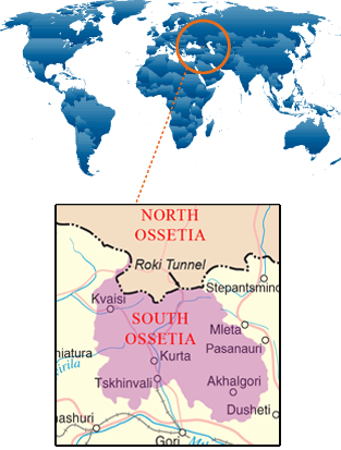
South Ossetia and Georgia in regional context MAP
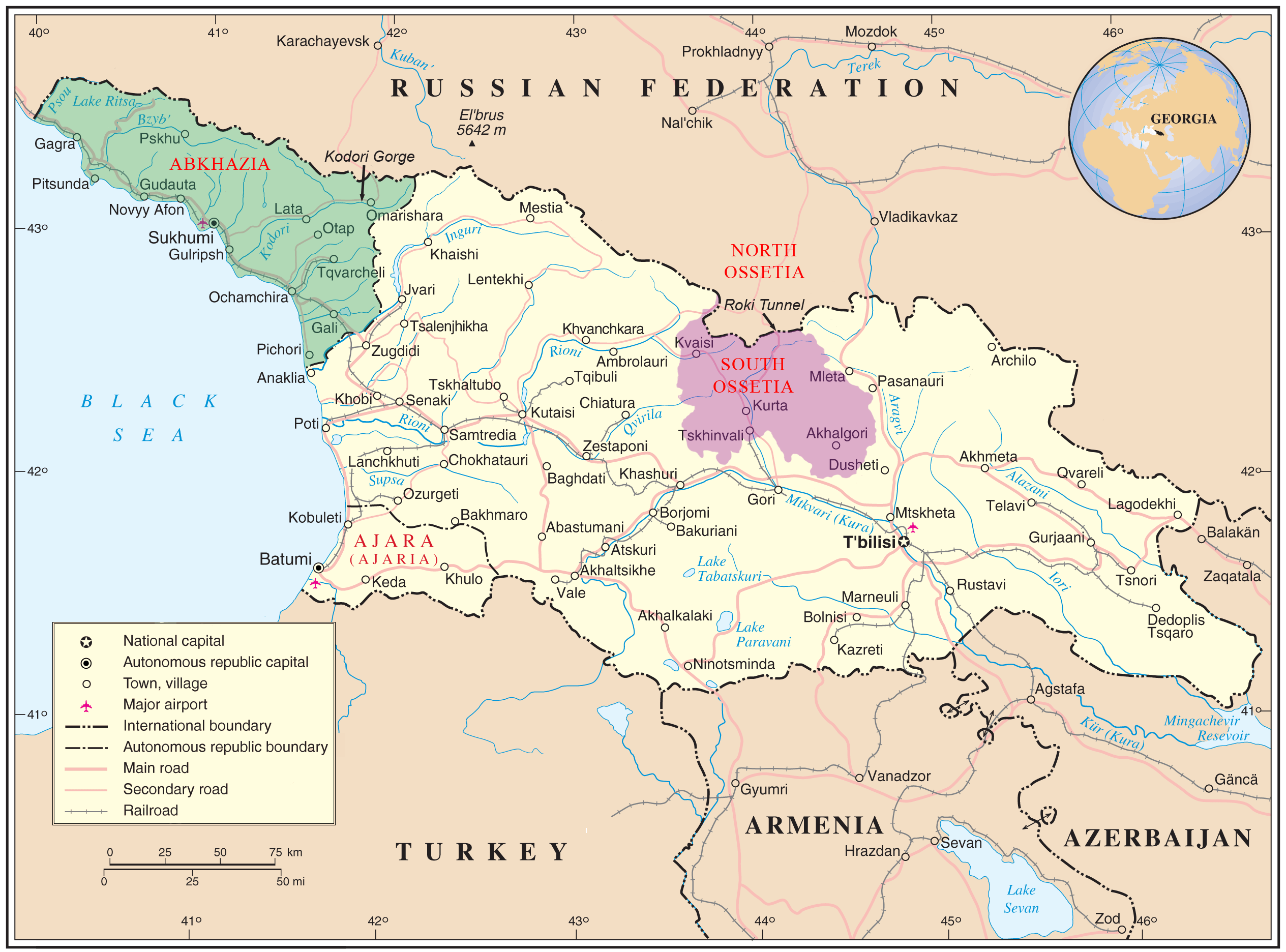
Boundaries of modern North and South Ossetia in context of medieval Alania (10th-12th century) MAP
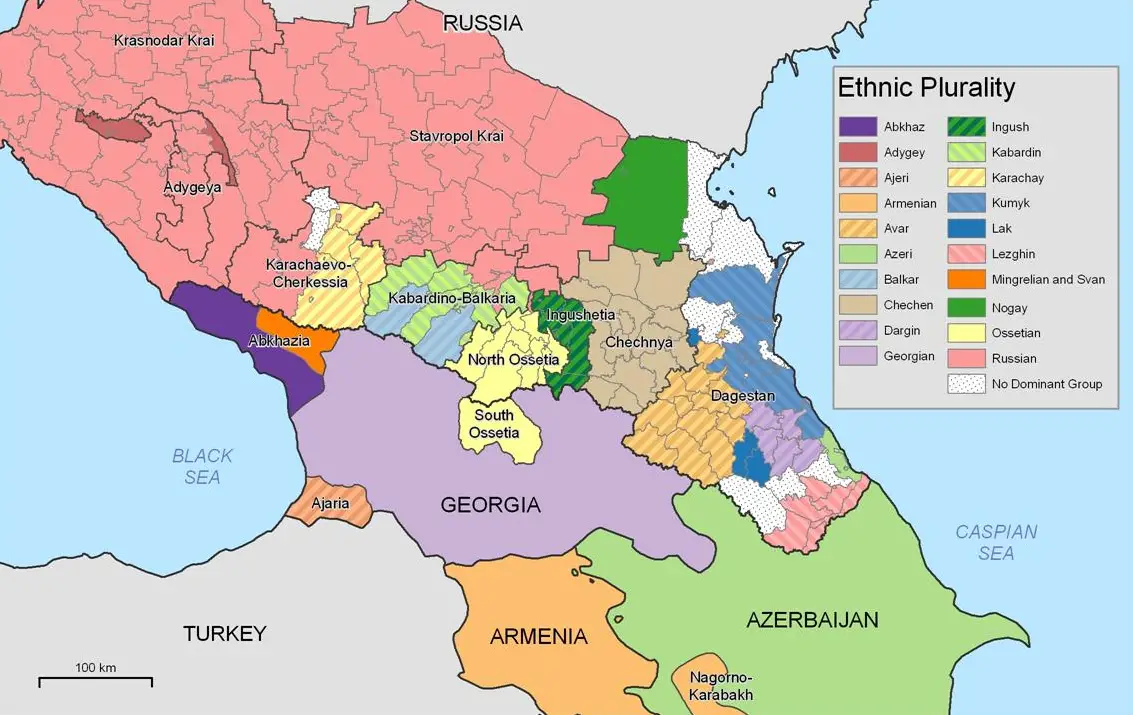
Ethnic groups in the Caucaus region. MAP
Languages in the Causasus region. MAP
HISTORIC MAPS
409-426. Kingdom of the Alans. MAP
650. Alans and other ethnic groups in the region. MAP
900s-1100s. Alania. MAP
1184 – 1230. Georgia and Alania. MAP
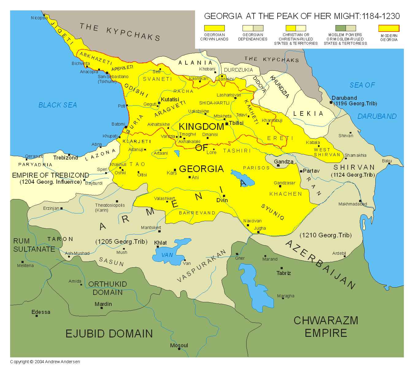
1920. Georgia land disputes with neighbouring countries. MAP
1957-1991. Caucasus region in Soviet Union. MAP
[/fivecol_two] [fivecol_two]
[/fivecol_two][fivecol_one_last]
[box]
LEARN MORE
CONFLICT TIMELINE
KEY ISSUES
KEY PLAYERS
INTERNATIONAL RESPONSE
COOL STUFF
MAPS
.
[button link=”http://pragmora.com/conflicts/search1/” size=”small” bg_color=”#e32609″]Search all conflicts[/button]
[/box] [/fivecol_one_last][divider_flat]
Join the discussion!


[quote]It isn’t enough to talk about peace. One must believe in it. And it isn’t enough to believe in it. One must work at it. — Eleanor Roosevelt [/quote]